NWS Storm Prediction Center Norman OK
0451 PM CDT Sat Sep 26 2026
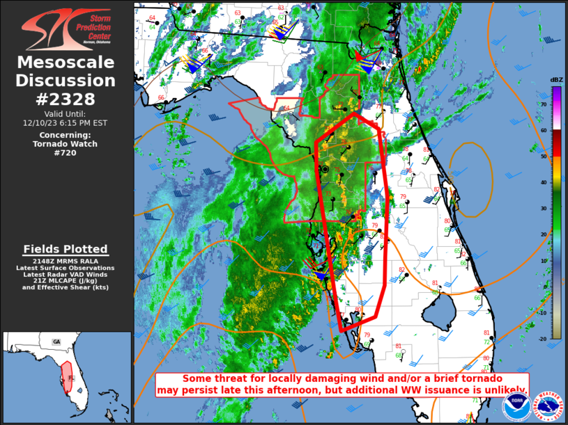
AREAS AFFECTED...Western OK into northwest/west-central TX
CONCERNING...Severe potential...Watch unlikely
VALID 262151Z - 270045Z
PROBABILITY OF WATCH ISSUANCE...5 percent
SUMMARY...Isolated strong/severe gusts and hail are possible into
this evening.
DISCUSSION...Widely scattered storm development is underway from
western OK into northwest TX, within a warm, moderately unstable,
and weakly capped environment. Additional storm development will be
possible within this corridor into early evening, in the vicinity of
a surface trough. Deep-layer shear is generally weak to ....... more