NWS Storm Prediction Center Norman OK
0114 AM CST Tue Dec 02 2025
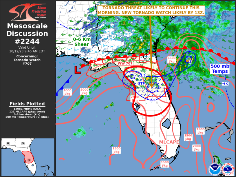
AREAS AFFECTED...the coastal Florida Panhandle
CONCERNING...Severe potential...Watch unlikely
VALID 020714Z - 021115Z
PROBABILITY OF WATCH ISSUANCE...20 percent
SUMMARY...Mini-supercells may eventually move ashore, affecting
primarily coastal counties of the Florida Panhandle. A BRIEF TORNADO
cannot be ruled out later tonight.
DISCUSSION...Radar shows multiple small supercells over the
northeastern Gulf of America, ahead of a cold front and along a warm
front. The warm front is currently offshore as can be seen with
backed surface winds over land and temperatures in ....... more