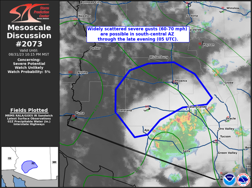
![]() | MESOSCALE DISCUSSION 2073 NWS Storm Prediction Center Norman OK 0438 PM CDT Fri Aug 21 2026 AREAS AFFECTED...Parts of southwest South Dakota and western Nebraska CONCERNING...Severe potential...Watch possible VALID 212138Z - 220015Z PROBABILITY OF WATCH ISSUANCE...60 percent SUMMARY...The area is being monitored for an increase in severe-thunderstorm potential. The primary concerns are large hail and SEVERE WIND GUSTS. A watch issuance is possible. DISCUSSION...Isolated thunderstorms are evolving along a SE/NW-oriented confluence axis extending from parts of northwest NE toward the Black Hills. This activity is potentially being aided by a subtle midlevel ....... more |
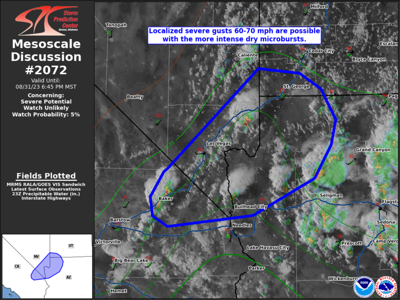
![]() | MESOSCALE DISCUSSION 2072 NWS Storm Prediction Center Norman OK 0335 PM CDT Fri Aug 21 2026 AREAS AFFECTED...north-central and northeast Nevada...northwest Utah...far southeast Oregon...and southern Idaho. CONCERNING...Severe potential...Watch unlikely VALID 212035Z - 212300Z PROBABILITY OF WATCH ISSUANCE...5 percent SUMMARY...The threat for a few SEVERE WIND GUSTS up to 70-80 mph is expected to increase by mid to late afternoon. A watch is not expected due to the isolated nature of the threat. DISCUSSION...Subtle mid-level disturbances embedded in a moist, southerly flow regime are contributing to a gradual increase in thunderstorms this afternoon across ....... more |