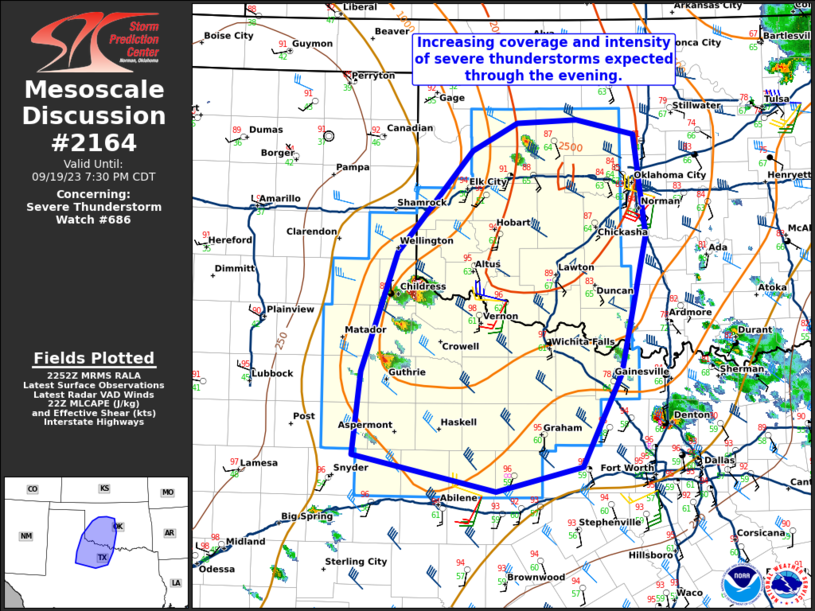
NWS Storm Prediction Center Norman OK
1041 PM CDT Fri Aug 28 2026
AREAS AFFECTED...Parts of central/eastern SD into far southeast
ND/southwest MN
CONCERNING...Severe potential...Watch unlikely
VALID 290341Z - 290615Z
PROBABILITY OF WATCH ISSUANCE...20 percent
SUMMARY...Strong to locally severe storms may develop late tonight.
DISCUSSION...Capping has thus far inhibited robust storm development
across parts of central/eastern SD. However, increasing low-level
flow noted on regional VWPs is indicative of a strengthening
warm-advection regime that will likely lead to an increasing
coverage of elevated storms late tonight. MUCAPE of ....... more