|
| The Southern Indiana Weather Spotter's Reference |
|
Serving the Tri-State with LIVE Radar & Weather Updates |
|
|
| |
Forecast: |
|
|
 FORECAST FOR THE EVANSVILLE, INDIANA AREA...... FORECAST FOR THE EVANSVILLE, INDIANA AREA......
|
|
|
|
|
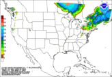
| 24 Hour Snow Forecast ≥ 1 Inch |
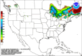
Day 1
|
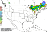
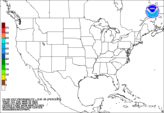
Day 2
|
Day 3
|
| 24 Hour Freezing Rain Forecast ≥ 0.01 Inch |
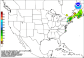
Day 1
|
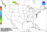
Day 2
|
Day 3
|
|
|


 NexLab
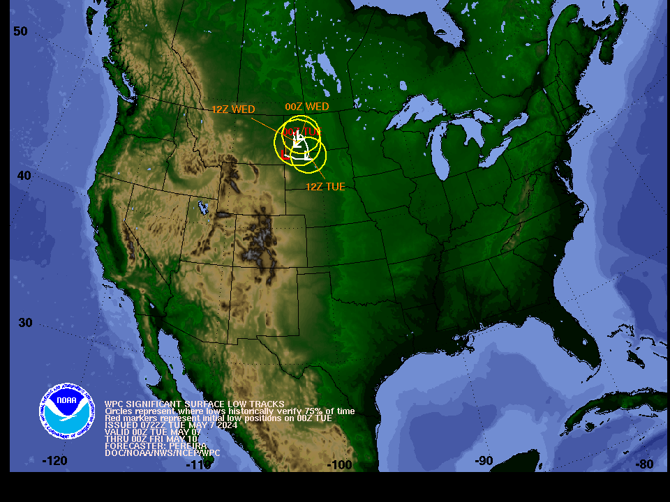 Low Track